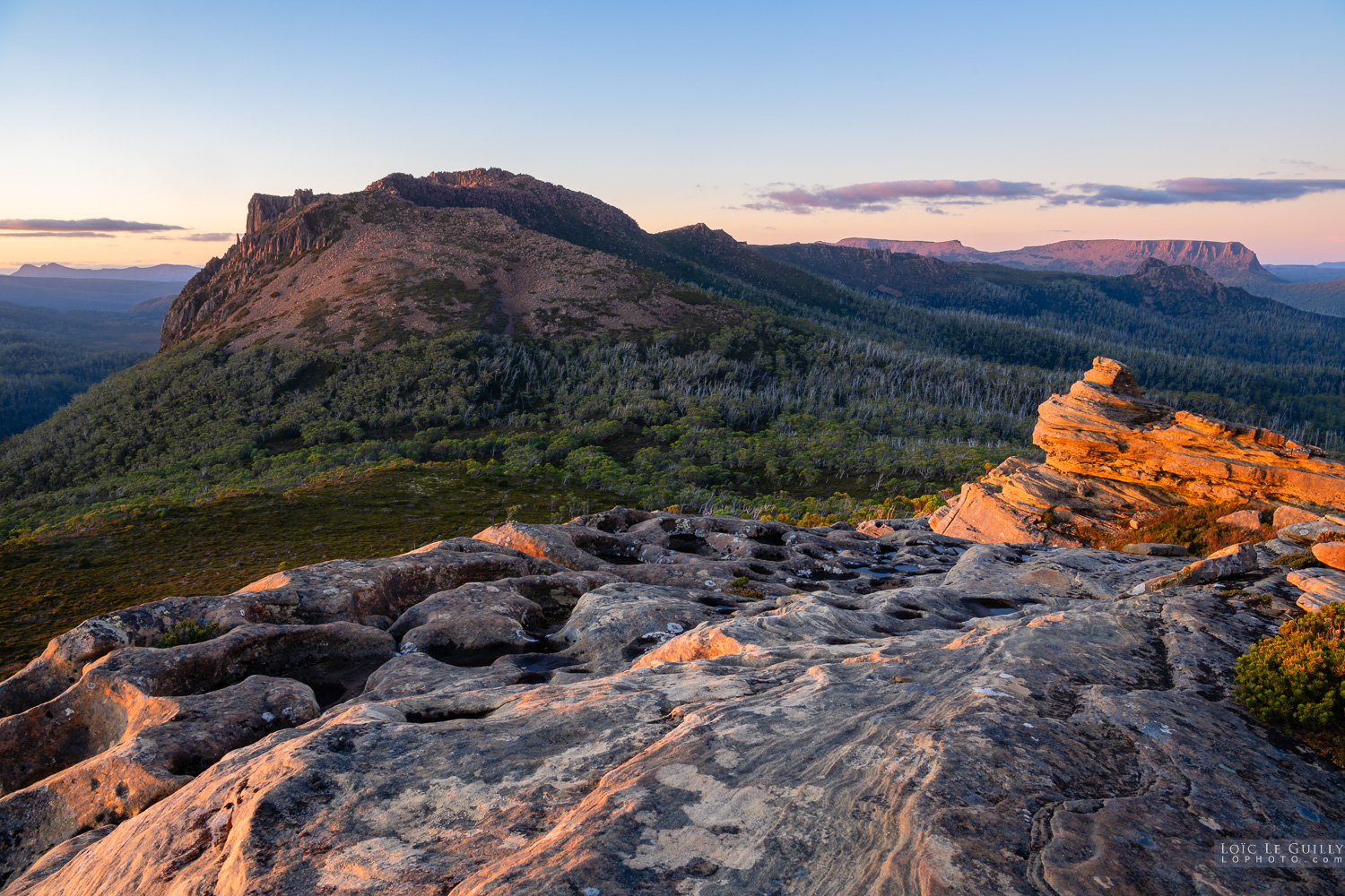
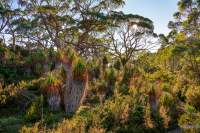
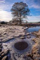
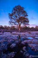
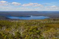
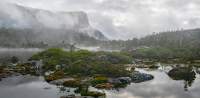
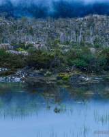
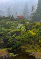
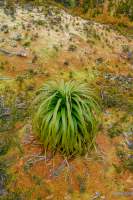
about       contribute       contact       newsletter      
Tasmania 360 guide
GUIDES      |       PANORAMAS      |       IMAGES      |       ARTICLES
share

Places in Tasmania > Central Tasmania >  Lake St Clair area

images 360 panoramas

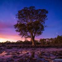
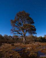
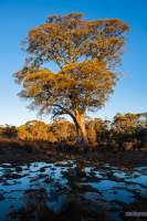
Lake St Clair is a lake in the Central Highlands area of Tasmania, Australia. It forms part of the Cradle Mountain-Lake St Clair National Park. It has an area of approx 45 km², and a maximum depth of 200 m, making it Australia's deepest lake. (source Wikipedia)


Lake St Clair
info

Sandstone and dolerite high above Lake St Clair
info

Latest images

Sunny morning stroll in the World Heritage

Miena cider gum and ice in the Tasmanian western highlands

Miena cider gum and ice

Miena cider gum at dawn

Miena cider gum at dawn

Miena cider gum moonlit

Miena cider gum moonlit

Miena cider gum in late afternoon

Button grass in winter in the Tasmanian highlands.

Frosted button grass

Deepest lake in Australia

Lake St Clair

300 million year old sandstone outcrop high above Lake St Clair / leeawuleena in the Tasmanian Wilderness World Heritage Area.

Mt Hugel at sunset

Tasmanian snow gum detail

Waking up alone in the wilderness

Alpine reflections

The gorgeous vegetation of Tasmania's alpine environments.

Alpine wonderland

"In Tasmania, Victoria and New South Wales, Sphagnum moss tends to die if it dries out in summer suggesting that Sphagnum peatlands in south-eastern Australia may be near their climatic limits. If so, global warming is likely to reduce their chances of long-term survival." (from the Tas Parks website).

Pandani on sphagnum moss

© Tasmania 360 / Loic Le Guilly unless specified otherwise.